- Usage in publication:
-
- Colvos Sand
- Modifications:
-
- Named
- Dominant lithology:
-
- Sand
- AAPG geologic province:
-
- Western Columbia basin
Summary:
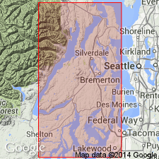
Pg. 32, pl. 1. Colvos Sand. A thick sequence of fine-grained, well-sorted sands. Deposits range from finely laminated varved clays and silt commonly found at base of formation, to thick, massive strata of sand, with strata and lenses of coarse sand and gravel. Thickness 0 to 300 feet. Overlies Kitsap Formation; underlies Vashon Drift. Recognized in northwestern Washington. Age is Pleistocene.
Named for exposures in sea cliffs along Colvos Passage, Kitsap Peninsula.
Source: US geologic names lexicon (USGS Bull. 1350, p. 166).
For more information, please contact Nancy Stamm, Geologic Names Committee Secretary.
Asterisk (*) indicates published by U.S. Geological Survey authors.
"No current usage" (†) implies that a name has been abandoned or has fallen into disuse. Former usage and, if known, replacement name given in parentheses ( ).
Slash (/) indicates name conflicts with nomenclatural guidelines (CSN, 1933; ACSN, 1961, 1970; NACSN, 1983, 2005, 2021). May be explained within brackets ([ ]).

