- Usage in publication:
-
- Switchback limestone
- Modifications:
-
- Original reference
- Dominant lithology:
-
- Limestone
- Dolomite
- Shale
- AAPG geologic province:
-
- Montana folded belt
Summary:
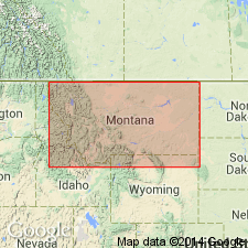
Pg. 5, 39, and passim. Switchback limestone. In most places slightly calcareous, argillaceous fine-grained sandy gray to brown-gray dolomite. In Nannie Creek Basin region it consists of platy buff-gray siliceous dolomite, which gives ringing sound when struck. In other places, notably at type locality near Pentagon Mountain, it consists of 100 feet of massive, thick-bedded cream-gray sandy argillaceous magnesian limestone underlain by 6 feet of green-gray shale and shaly limestone. Minimum thickness of20 feet is in Dearborn region. Underlies Devils Glen dolomite and overlies Gordon Mountain limestone. Age is Middle or Late Cambrian.
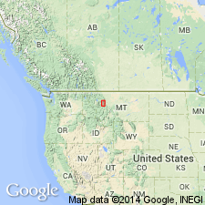
Type locality: upper-middle part of the cliffs which form east side of peak 1 mi S. 48 deg. E. of Pentagon Mountain, in NE/4 sec. 23, T. 25 N., R. 12 W., northwestern MT. Named from Switchback Pass, about 0.25 mi south of these cliffs.
Source: US geologic names lexicon (USGS Bull. 896, p. 2101).

- Usage in publication:
-
- Switchback shale*
- Modifications:
-
- Revised
- Dominant lithology:
-
- Limestone
- Shale
- AAPG geologic province:
-
- Montana folded belt
Summary:
Pg. 6, 8-9, 16, 29, 32, 46, 54 (fig. 6); GSA Bull., v. 49, no. 7, p. 1078, 1084, 1089, 1090 (fig. 2), 1938. Switchback shale. Overlies Steamboat limestone (as used here replaces Gordon Mountain limestone of 1933 sequence); underlies Devils Glen dolomite. Thickness at type locality 253 feet; average thickness 111 feet. Age is Middle Cambrian (Albertan).
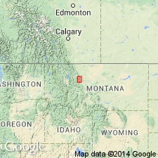
Type locality (emended): on ridge east of Kid Mountain and west of cirque on southwest side of Gordon Mountain, in SW/4 sec. 9, T. 19 N., R. 13 W., northern Lewis and Clark Range, [Una Mountain 7.5-min quadrangle, Powell Co.], northwestern MT.
Source: US geologic names lexicon (USGS Bull. 1200, p. 3795).

- Usage in publication:
-
- Switchback shale*
- Modifications:
-
- Age modified
- AAPG geologic province:
-
- Montana folded belt
- Sweetgrass arch
Summary:
Pg. 1131 (table 1), 1133; GSA Bull., v. 54, no. 2, p. 205-262, 1943 (Saypo quadrangle). Switchback shale. Described in Sawtooth Range where it is 125 to 175 feet thick; underlies Devils Glen dolomite; overlies Steamboat limestone. Age is Middle and Late Cambrian.
Trilobites collected by N. Denson (personal commun.) from talus derived from Switchback, in Dearborn Canyon, Lewis and Clark County, Montana, indicate latest Middle Cambrian (DEISSELLA-CENTROPLEURA fauna) and earliest Late Cambrian (CEDARIA fauna); Middle-Upper (St. Croixan) Cambrian boundary somewhere within Switchback. (Identified by R.O. Raasch, personal commun.)
Source: US geologic names lexicon (USGS Bull. 1200, p. 3795); GNU records (USGS DDS-6; Denver GNULEX).

- Usage in publication:
-
- Switchback Shale*
- Modifications:
-
- Areal extent
- AAPG geologic province:
-
- Montana folded belt
- Sweetgrass arch
Summary:
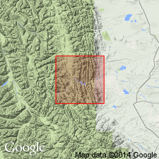
Outcrops on west side of Nineteen Mountain, on Prairie Reef, along ridge containing Allan Mountain and Arsenic Peak, at heads of Blacktail Gulch, Cabin Creek, Grouse Creek, and Deep Creek, Lewis and Clark and Teton Cos, MT, Montana folded belt province and Sweetgrass arch. About 150 ft thick in Pretty Prairie quad (GQ-454, Mudge, 1966), thinning to 75 ft west of quad; about 150 ft thick in Glenn Creek quad (GQ-499, Mudge, 1966); 200-250 ft thick in Arsenic Peak quad (GQ-597, Mudge, 1967); and 120-225 ft thick in Patricks Basin quad (GQ-453, Mudge, 1966). Conformably overlies Steamboat Limestone; conformably underlies Devils Glen Dolomite with sharp contact. Correlates with Park Shale in south-central MT. Boundary between Middle and Upper Cambrian is within Switchback, probably at base of conglomerate beds in upper part of unit. Geologic map, stratigraphic chart, measured sections. Middle and Late Cambrian age.
Source: GNU records (USGS DDS-6; Denver GNULEX).
For more information, please contact Nancy Stamm, Geologic Names Committee Secretary.
Asterisk (*) indicates published by U.S. Geological Survey authors.
"No current usage" (†) implies that a name has been abandoned or has fallen into disuse. Former usage and, if known, replacement name given in parentheses ( ).
Slash (/) indicates name conflicts with nomenclatural guidelines (CSN, 1933; ACSN, 1961, 1970; NACSN, 1983, 2005, 2021). May be explained within brackets ([ ]).

