- Usage in publication:
-
- Sneedville limestone
- Modifications:
-
- Named
- Dominant lithology:
-
- Limestone
- AAPG geologic province:
-
- Appalachian basin
Summary:
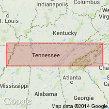
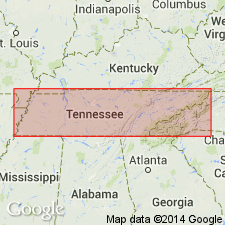
Named for Sneedville, Hancock Co., northeastern TN. Consists of a band of gray limestone in eastern TN; contains fine sandstones and iron ore. Thickness is 100 to 200 ft. Overlies variegated shales. Lies lower than Carboniferous or Devonian black slate. Assigned to Devonian.
Source: GNU records (USGS DDS-6; Reston GNULEX).

- Usage in publication:
-
- Sneedville limestone†
- Modifications:
-
- Abandoned
- AAPG geologic province:
-
- Appalachian basin
Summary:
Replaced by Hancock limestone, later but better-established name, under which it has been mapped over large areas. Is of upper Cayuga age.
Source: US geologic names lexicon (USGS Bull. 896, p. 2018).

- Usage in publication:
-
- Sneedville Limestone
- Modifications:
-
- Overview
- Age modified
- AAPG geologic province:
-
- Appalachian basin
Summary:
Silurian and Devonian Sneedville Limestone mapped in eastern TN. Consists of gray silty limestone and dolomite, minor shale, and fine-grained, greenish-gray sandstone. Fossils locally abundant. Thickness is 100 to 300 ft.
Source: GNU records (USGS DDS-6; Reston GNULEX).
For more information, please contact Nancy Stamm, Geologic Names Committee Secretary.
Asterisk (*) indicates published by U.S. Geological Survey authors.
"No current usage" (†) implies that a name has been abandoned or has fallen into disuse. Former usage and, if known, replacement name given in parentheses ( ).
Slash (/) indicates name conflicts with nomenclatural guidelines (CSN, 1933; ACSN, 1961, 1970; NACSN, 1983, 2005, 2021). May be explained within brackets ([ ]).

