

- Usage in publication:
-
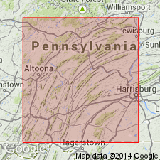
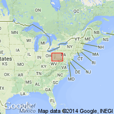
- Salona formation
- Modifications:
-
- Named
- Dominant lithology:
-
- Limestone
- AAPG geologic province:
-
- Appalachian basin
Summary:
Named for Salona, Clinton, Co., PA. Generally a black argillaceous limestone of the Trenton group. Approximately 240 ft thick; probably thickens to east. Overlies Rodman formation; underlies Coburn formation. Unit is fossiliferous and is assigned a Middle Ordovician age. Publication includes a stratigraphic section.
Source: GNU records (USGS DDS-6; Reston GNULEX).
- Usage in publication:
-
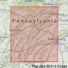
- Salona limestone
- Modifications:
-
- Areal extent
- Revised
- AAPG geologic province:
-
- Appalachian basin
Summary:
Geographically extended to WV. Revised to Salona limestone for its prominent limestone lithology. Consists of approximately 175 ft of dark argillaceous limestone and calcareous shale. Contains eight metabentonite beds with the base of the Salona occurring 2 ft below the lowest metabentonite. Overlies Nealmont limestone; underlies Coburn limestone.
Source: GNU records (USGS DDS-6; Reston GNULEX).
- Usage in publication:
-
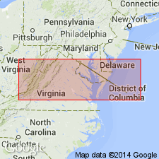
- Salona limestone
- Modifications:
-
- Areal extent
- AAPG geologic province:
-
- Appalachian basin
Summary:
Geographically extended to northwestern VA. Subdivided in WV and VA to include the Onego member, which is believed to correspond approximately to lowermost Salona of PA, though it probably extends a little lower. Underlies "Martinsburg" formation; overlies Nealmont limestone. Correlates with Eggleston and lowermost Martinsburg in southwestern VA.
Source: GNU records (USGS DDS-6; Reston GNULEX).
- Usage in publication:
-
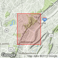
- Salona Formation
- Modifications:
-
- Overview
- AAPG geologic province:
-
- Appalachian basin
Summary:
Salona Formation is recognized throughout the Valley and Ridge province in central PA and in the subsurface in western PA, northwestern VA, and eastern WV. Unit is predominantly a dark-gray limestone containing thin interbeds of black calcareous shale. New Enterprise Member (lower member) consists of an interbedded sequence of dark-gray to grayish-black homogeneous calcisiltite and calcareous shale. Beds are nearly nonfossiliferous, with only rare brachiopods and trilobites. Five ash beds present in this member. Upper Roaring Spring Member is distinguished from lower member by the presence of ripples and cross-bedding in calcisiltite and calcarenite. One ash bed present in Roaring Spring. Salona gradationally overlies Rodman Formation and conformably underlies the Coburn Formation. Thickness of 55+/-5 m measured at the New Enterprise Stone and Gravel Company quarry at Roaring Spring. New Enterprise Member is 38 m, while the Roaring Spring Member is 18 m. No basis given for the Late Ordovician age assignment.
Source: GNU records (USGS DDS-6; Reston GNULEX).
- Usage in publication:
-
- Salona Limestone*
- Modifications:
-
- Overview
- AAPG geologic province:
-
- Appalachian basin
Summary:
In section C-C' the Salona Limestone in the subsurface of PA is Rocklandian age based on fossils and stratigraphic position.
Source: GNU records (USGS DDS-6; Reston GNULEX).
For more information, please contact Nancy Stamm, Geologic Names Committee Secretary.
Asterisk (*) indicates published by U.S. Geological Survey authors.
"No current usage" (†) implies that a name has been abandoned or has fallen into disuse. Former usage and, if known, replacement name given in parentheses ( ).
Slash (/) indicates name conflicts with nomenclatural guidelines (CSN, 1933; ACSN, 1961, 1970; NACSN, 1983, 2005, 2021). May be explained within brackets ([ ]).