

- Usage in publication:
-
- Peery limestone member
- Modifications:
-
- Named
- Dominant lithology:
-
- Limestone
- AAPG geologic province:
-
- Appalachian basin
Summary:
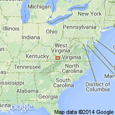
Named the Peery limestone member of the Cliffield formation for the Peery Lime Company quarry near Tazewell Co., southwestern VA. Consists of dark bluish gray to black, fine-grained argillaceous limestone containing LOPHOSPIRA; upper part is succession of thick-bedded, taupe and dove gray, rather pure calcilutites. Thickness is about 50 feet, but locally the calcilutite may exceed 100 feet. Overlies Ward Cove member of Cliffield formation and underlies the Shannondale limestone member of the Benbolt limestone. The Peery is of Middle Ordovician age.
Source: GNU records (USGS DDS-6; Reston GNULEX).
- Usage in publication:
-
- Peery limestone
- Modifications:
-
- Revised
- AAPG geologic province:
-
- Appalachian basin
Summary:
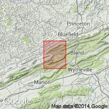
Raised the rank of the Peery to the Peery limestone of the Cliffield group in area between Brushy and Walker Mountains, southwestern VA. In this area, the Peery overlies the Athens formation and is 10 to 18 feet thick.
Source: GNU records (USGS DDS-6; Reston GNULEX).
- Usage in publication:
-
- Peery Limestone*
- Modifications:
-
- Revised
- Areal extent
- AAPG geologic province:
-
- Appalachian basin
Summary:
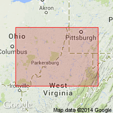
In cross section E-E', in the subsurface of east-central WV and southwestern VA, Peery Limestone shown as part of the Black River Group. Peery is extended into WV in Pendleton Co. Replaces part of the Big Valley Formation of Perry (1964). Age is Middle Ordovician (Blackriveran).
Source: GNU records (USGS DDS-6; Reston GNULEX).
For more information, please contact Nancy Stamm, Geologic Names Committee Secretary.
Asterisk (*) indicates published by U.S. Geological Survey authors.
"No current usage" (†) implies that a name has been abandoned or has fallen into disuse. Former usage and, if known, replacement name given in parentheses ( ).
Slash (/) indicates name conflicts with nomenclatural guidelines (CSN, 1933; ACSN, 1961, 1970; NACSN, 1983, 2005, 2021). May be explained within brackets ([ ]).