- Usage in publication:
-
- Ottosee shale*
- Modifications:
-
- Named
- Dominant lithology:
-
- Shale
- Limestone
- AAPG geologic province:
-
- Appalachian basin
Summary:
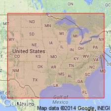
Named the Ottosee shale of the Blount group for Ottosee Lake, Chilhowee Park, Knoxville, TN. Consists of mainly shales and thin limestones; in one area it includes an 80 foot thick massive pink marble bed. Unit is 35 to 1200 feet thick. It unconformably overlies the Holston marble in the Knoxville trough and the Tellico sandstone in the Athens trough, and underlies the Lowville formation. The Ottosee is considered the top formation in the Blount group and is of Early Ordovician age.
Source: GNU records (USGS DDS-6; Reston GNULEX).
- Usage in publication:
-
- Ottosee limestone
- Modifications:
-
- Revised
- AAPG geologic province:
-
- Appalachian basin
Summary:
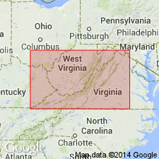
Revised the Ottosee to the Ottosee limestone of the Blount group in VA. Unit overlies the Athens shale, Holston limestone, or the Lenoir limestone and underlies the Lowville-Moccasin limestone of the Black River group. Thickness is 100 to 595 feet. The Ottosee is of Middle Ordovician age.
Source: GNU records (USGS DDS-6; Reston GNULEX).
- Usage in publication:
-
- Ottosee shale
- Modifications:
-
- Areal extent
- AAPG geologic province:
-
- Appalachian basin
Summary:
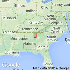
Geographically extended the Ottosee shale of the Blount group to GA. Unit overlies the Holston marble.
Source: GNU records (USGS DDS-6; Reston GNULEX).
- Usage in publication:
-
- Ottosee shale
- Modifications:
-
- Not used
- AAPG geologic province:
-
- Appalachian basin
Summary:
The term Ottosee shale is not used in this report. Author believes that the Ottosee shale and Holston formation are time-stratigraphic rather than lithostratigraphic. The Sevier formation is used in place of Ottosee shale.
Source: GNU records (USGS DDS-6; Reston GNULEX).
- Usage in publication:
-
- Ottosee shale*
- Modifications:
-
- Revised
- AAPG geologic province:
-
- Appalachian basin
Summary:
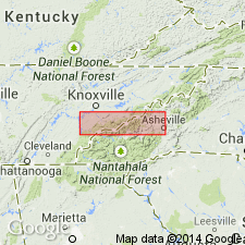
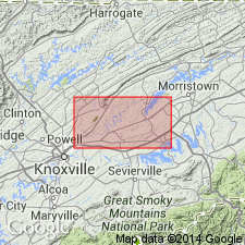
The Ottosee shale is used on the geologic map (not described in report) but is not part of the Blount group. The Blount group is discarded. The Ottosee is included with the Tellico sandstone as a map unit.
Source: GNU records (USGS DDS-6; Reston GNULEX).
- Usage in publication:
-
- Ottosee Shale
- Modifications:
-
- Revised
- AAPG geologic province:
-
- Appalachian basin
Summary:
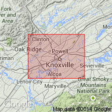
The Ottosee Shale is included in the Chickamauga Group in TN. Consists of fossiliferous shale, siltstone, sandstone, and marble. Shales are brown, brownish-gray, and medium- to dark-gray, and weather yellowish-gray or yellowish-brown. Limestones are coarse and argillaceous. Pinkish marble, similar to the Holston Formation, is scattered throughout the formation. Thickness ranges from 700 to 2000 feet. The Ottosee is of Middle Ordovician age.
Source: GNU records (USGS DDS-6; Reston GNULEX).
- Usage in publication:
-
- Ottosee Shale*
- Modifications:
-
- Overview
- AAPG geologic province:
-
- Appalachian basin
Summary:
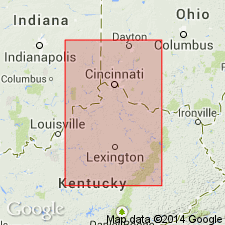
Ottosee Shale. According to Ross and others (1982), Ottosee Shale, Moccasin Limestone, and Eggleston Formation of eastern Tennessee correlate with Tyrone Limestone of north-central Tennessee.
Source: Modified from GNU records (USGS DDS-6; Reston GNULEX).
For more information, please contact Nancy Stamm, Geologic Names Committee Secretary.
Asterisk (*) indicates published by U.S. Geological Survey authors.
"No current usage" (†) implies that a name has been abandoned or has fallen into disuse. Former usage and, if known, replacement name given in parentheses ( ).
Slash (/) indicates name conflicts with nomenclatural guidelines (CSN, 1933; ACSN, 1961, 1970; NACSN, 1983, 2005, 2021). May be explained within brackets ([ ]).

