- Usage in publication:
-
- Ohio black slate
- Modifications:
-
- Named
- Dominant lithology:
-
- Slate
- AAPG geologic province:
-
- Cincinnati arch
- Appalachian basin
Summary:
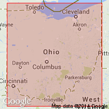
Named Ohio black slate. Thickness is 320 ft in type locality. Overlain by Waverly sandstone.
Source: GNU records (USGS DDS-6; Reston GNULEX).
- Usage in publication:
-
- Ohio shale*
- Modifications:
-
- Overview
- Dominant lithology:
-
- Shale
- AAPG geologic province:
-
- Appalachian basin
- Cincinnati arch
Summary:
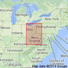
Ohio shale crops out from Cuyahoga Co. in northern OH to Pulaski Co. in southern KY. In northern OH, can be divided into two shale units, the Huron and overlying Cleveland members. In part of the area, the Huron and Cleveland are separated by the Chagrin shale. Elsewhere the two members are difficult to separate. The Ohio shale is composed of tough, hard, grayish-black shale. The Huron member contains large septarian concretions. The Cleveland is mostly black shale but also contains in the lower part many beds of bluish-gray or gray clay shale, some thin gray to brown siltstone beds, many small nodules and lumps of pyrite and several thin siliceous limestone beds characterized by cone-in-cone structure. The Ohio shale is more than 500 ft thick in Huron Co. in northern OH, 376 ft thick in Ross Co. in southern OH, 250 ft thick in Lewis Co. in northern KY, and 95 ft thick in Estill Co. in east-central KY. Overlain by Bedford shale. Age is Late Devonian.
Source: GNU records (USGS DDS-6; Reston GNULEX).
- Usage in publication:
-
- Ohio Shale*
- Modifications:
-
- Revised
- AAPG geologic province:
-
- Appalachian basin
- Cincinnati arch
Summary:
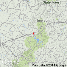
Three Lick Bed named in Ohio Shale. Overlies Huron Member and underlies Cleveland Member of Ohio Shale. Thin marker bed that is recognizable lithologically and on scintillometer profiles on the surface and on gamma-ray logs in the subsurface in central and southeastern OH and eastern KY and into western WV, western VA, and northeastern TN.
Source: GNU records (USGS DDS-6; Reston GNULEX).
- Usage in publication:
-
- Ohio Shale*
- Modifications:
-
- Overview
- AAPG geologic province:
-
- Appalachian basin
Summary:
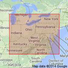
Ohio Shale and its component Huron and Cleveland Members extended in the subsurface, mainly by means of gamma-ray logs, through most of eastern OH and eastern KY and into western WV and western VA. Huron Member also extended into western PA.
Source: GNU records (USGS DDS-6; Reston GNULEX).
- Usage in publication:
-
- Ohio Shale
- Modifications:
-
- Areal extent
- Overview
- AAPG geologic province:
-
- Appalachian basin
Summary:
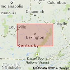
Authors follow de Witt (1981) in restricting the New Albany Shale to the Illinois basin and the Ohio Shale to the Appalachian basin. Ohio Shale terminology used wherever Three Lick Bed is recognizable in cores. Unlike de Witt (1981), authors do not use Chattanooga Shale in Knobs outcrop area of south-central KY. Late Devonian Ohio Shale is subdivided into (ascending) Huron Member, Three Lick Bed, and Cleveland Member.
Source: GNU records (USGS DDS-6; Reston GNULEX).
- Usage in publication:
-
- Ohio Shale Member
- Modifications:
-
- Revised
- AAPG geologic province:
-
- Appalachian basin
Summary:
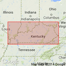
In this study, the Chattanooga Shale is divided into (ascending) Rhinestreet Shale, Upper Olentangy Shale, Ohio Shale, Bedford Shale, Berea Sandstone, and Sunbury Shale Members. Throughout most of the region, the dominant lithology is black, organic-rich shale (Rhinestreet, Ohio, and Sunbury). The Chattanooga thins westward. Geophysical logs indicate that in the western region, unit consists of only the Sunbury, Berea-Bedford, and Ohio Members, the Rhinestreet and Olentangy having pinched out. The Ohio is dominantly a black shale in the western part of the study area. In the eastern part, the black shale is interbedded with gray shales and in the extreme eastern part it is dominated by gray shales. According to the author, formal nomenclature presented in this report has been accepted by the Kentucky Stratigraphic Nomenclature Committee. Report includes correlation charts, cross-sections, and measured sections.
Source: GNU records (USGS DDS-6; Reston GNULEX).
- Usage in publication:
-
- Ohio Shale*
- Modifications:
-
- Overview
- AAPG geologic province:
-
- Appalachian basin
Summary:
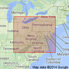
In northern OH, Ohio Shale includes two sequences of black shale, the Huron Member below and the Cleveland Member above. A tongue of Chagrin Shale separates the Huron from the Cleveland in northern and eastern OH. In outcrops in central and southern OH and much of northeastern and central KY, the Three Lick Bed of the Ohio Shale, (a featheredge of the Chagrin Shale) separates the two members. In southern KY and central TN, the Huron and Cleveland are present as beds in the Gassaway Member of the Chattanooga Shale. The Huron is thicker and more extensive than the Cleveland. In northwestern PA and adjacent western NY, the Huron becomes the Dunkirk Shale Member of the Perrysburg.
Source: GNU records (USGS DDS-6; Reston GNULEX).
For more information, please contact Nancy Stamm, Geologic Names Committee Secretary.
Asterisk (*) indicates published by U.S. Geological Survey authors.
"No current usage" (†) implies that a name has been abandoned or has fallen into disuse. Former usage and, if known, replacement name given in parentheses ( ).
Slash (/) indicates name conflicts with nomenclatural guidelines (CSN, 1933; ACSN, 1961, 1970; NACSN, 1983, 2005, 2021). May be explained within brackets ([ ]).

