

- Usage in publication:
-
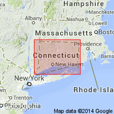
- Meriden formation
- Modifications:
-
- Named
- Dominant lithology:
-
- Siltstone
- Shale
- Limestone
- Sandstone
- Lava
- AAPG geologic province:
-
- New England province
- Hartford basin
Summary:
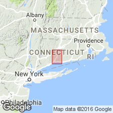
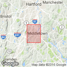
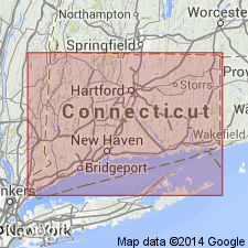
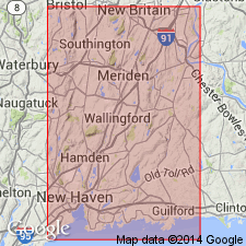
The Meriden formation of the Newark group is named for interbedded sedimentary and basaltic rocks in central Connecticut. It consists of variegated or dark siltstone, shale, limestone, sandstone, and conglomerate and three lava flows. It is divided into the lower lava flow, lower sedimentary division, middle lava flow, upper sedimentary division, and upper lava flow. Overlies the New Haven arkose; underlies the Portland arkose. Age is Late Triassic.
Source: GNU records (USGS DDS-6; Reston GNULEX).
- Usage in publication:
-
- Meriden formation
- Modifications:
-
- Not used
- AAPG geologic province:
-
- New England province
- Hartford basin
Summary:
The term Meriden Formation is not used and its members are given formation rank in the Newark Group as the Talcott Basalt, Shuttle Meadow Formation, Holyoke Basalt, East Berlin Formation, and Hampden Basalt.
Source: GNU records (USGS DDS-6; Reston GNULEX).
- Usage in publication:
-
- Meriden formation
- Modifications:
-
- Revised
- AAPG geologic province:
-
- New England province
- Hartford basin
Summary:
The members of the Meriden Formation are named the Talcott Lava Member, lower sedimentary member, Holyoke Lava Member, upper sedimentary member, and Hampden Lava Member.
Source: GNU records (USGS DDS-6; Reston GNULEX).
- Usage in publication:
-
- Meriden Group
- Modifications:
-
- Revised
- AAPG geologic province:
-
- New England province
- Hartford basin
Summary:
The Meriden is raised to Meriden Group and it includes the Talcott Formation, Shuttle Meadow Formation, Holyoke Basalt, East Berlin Formation, and Hampden Basalt. The term Newark Group is not used.
Source: GNU records (USGS DDS-6; Reston GNULEX).
- Usage in publication:
-
- Meriden Formation
- Modifications:
-
- Revised
- AAPG geologic province:
-
- New England province
- Hartford basin
Summary:
Meriden Formation of Krynine (1950) is used as an equivalent to the Talcott, Shuttle Meadow, Holyoke, East Berlin, and Hampden Formations on the bedrock geologic map of Connecticut. Age is Early Jurassic.
Source: GNU records (USGS DDS-6; Reston GNULEX).
- Usage in publication:
-
- Meriden Group
- Modifications:
-
- Mapped
- AAPG geologic province:
-
- Piedmont-Blue Ridge province
Summary:
Pg. 10-12, geol. map. Meriden Group of Newark Supergroup. In Culpeper basin, Virginia, Meriden Group of Weems and Olsen, 1997) consists of Early Jurassic basalt flows and intercalated sedimentary rocks. Includes (in ascending order) Lee and Froelich's (1989) Midland Formation, Hickory Grove Basalt, Turkey Run Formation, and Sander Basalt. These rocks were included in upper part of Culpeper Group (see Lee 1979, 1980).
[Notable exposures in southern part of quadrangle, in area surrounding Oatlands, Loudoun Co., VA, on east side of Bull Run Mountain fault.]
Source: Publication.
For more information, please contact Nancy Stamm, Geologic Names Committee Secretary.
Asterisk (*) indicates published by U.S. Geological Survey authors.
"No current usage" (†) implies that a name has been abandoned or has fallen into disuse. Former usage and, if known, replacement name given in parentheses ( ).
Slash (/) indicates name conflicts with nomenclatural guidelines (CSN, 1933; ACSN, 1961, 1970; NACSN, 1983, 2005, 2021). May be explained within brackets ([ ]).