- Usage in publication:
-
- Linden Hall Formation
- Modifications:
-
- Named
- Dominant lithology:
-
- Limestone
- AAPG geologic province:
-
- Appalachian basin
Summary:
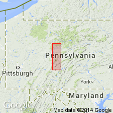
Linden Hall Formation named. Composed of dark-gray thick -bedded limestones 151 ft thick. Conformably overlies the Snyder Limestone; underlies the Centre Hall Member of the Nealmont Formation.
Source: GNU records (USGS DDS-6; Reston GNULEX).

- Usage in publication:
-
- Linden Hall Formation
- Modifications:
-
- Revised
- AAPG geologic province:
-
- Appalachian basin
Summary:
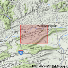
Linden Hall Formation of Rones (1969) revised to include all the limestones between the Snyder Formation (below) and the Rodman Formation (above). Divided into the Stover Member and an unnamed upper member.
Source: GNU records (USGS DDS-6; Reston GNULEX).

- Usage in publication:
-
- Linden Hall
- Modifications:
-
- Not used
- AAPG geologic province:
-
- Appalachian basin
Summary:
The term Linden Hall is not used on the geologic map of PA in central PA. Rocks called Linden Hall by other workers are called Benner Formation.
Source: GNU records (USGS DDS-6; Reston GNULEX).

- Usage in publication:
-
- Linden Hall Formation
- Modifications:
-
- Revised
- Overview
- AAPG geologic province:
-
- Appalachian basin
Summary:
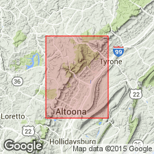
Linden Hall and Rodman Formations mapped together because of poor exposures. The Linden Hall is here revised to include the Center [Centre] Hall Member along with the Stover and Oak Hall Members. The Rodman and the Linden Hall extend throughout the Valley and Ridge province in central PA and have been traced in the subsurface westward under the Appalachian plateau. The Linden Hall consists of interbedded homogeneous, fossiliferous, and "wormy" limestones. The Stover Member, at the base, consists of medium-dark-gray calcisiltite and calcilutite. Fucoids common. The overlying Oak Hall and Center Hall Members are composed of medium- to thick-bedded calcisiltite and minor calcilutite that are medium to medium dark gray, mottled, and homogeneous. Gastropods, crinoid columnals, and thin-shelled brachiopods are common. Combined thickness of the Linden Hall and Rodman along PA Rte 453 is 40+/-3 m. Stover Member is 14+/-2 m; Oak Hall and Center Hall are 20+/-2 m. Linden Hall conformably overlies the Snyder Formation. No basis given for Late Ordovician age assignment.
Source: GNU records (USGS DDS-6; Reston GNULEX).

- Usage in publication:
-
- Linden Hall Limestone*
- Modifications:
-
- Revised
- AAPG geologic province:
-
- Appalachian basin
Summary:
In section C-C' the Linden Hall is called the Linden Hall Limestone in PA based on prevalent limestone lithology. The Linden Hall Limestone, along with the Hatter and Snyder Limestones (all of the Black River Group), correlate with the lower one-half of the Chambersburg Formation in Franklin Co. PA.
Source: GNU records (USGS DDS-6; Reston GNULEX).
For more information, please contact Nancy Stamm, Geologic Names Committee Secretary.
Asterisk (*) indicates published by U.S. Geological Survey authors.
"No current usage" (†) implies that a name has been abandoned or has fallen into disuse. Former usage and, if known, replacement name given in parentheses ( ).
Slash (/) indicates name conflicts with nomenclatural guidelines (CSN, 1933; ACSN, 1961, 1970; NACSN, 1983, 2005, 2021). May be explained within brackets ([ ]).

