

- Usage in publication:
-
- Jackpile ore-bearing bed (informal)*
- Modifications:
-
- Original reference
- Dominant lithology:
-
- Sandstone
- AAPG geologic province:
-
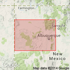
- San Juan basin
Summary:
Jackpile ore-bearing bed (informal) of Brushy Basin shale member of Morrison formation. Very pale orange and locally white sandstone that is dominantly fine to medium grained with minor coarse grains at base. Characterized by scour-and-fill crossbedding, but some parallel bedding, often marked by claystone partings, is present also. Ranges from knife edge, where cutout by pre-Dakota(?) erosion, to about 175 feet at Jackpile mine. Constitutes uppermost 65 feet of member at Laguna section. Age is Late Jurassic.
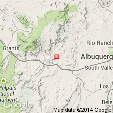
Traced from Laguna section, in sec. 28, T. 10 N., R. 5 W., in nearly continuous exposures, into ore-bearing sandstone at Jackpile mine of Anaconda Copper Mining Company, Valencia Co., northwestern NM.
Source: US geologic names lexicon (USGS Bull. 1200, p. 1899).
- Usage in publication:
-
- Jackpile Sandstone Member
- Modifications:
-
- Named
- Geochronologic dating
- Dominant lithology:
-
- Sandstone
- AAPG geologic province:
-
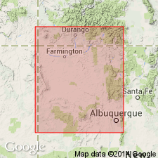
- San Juan basin
Summary:
Formerly considered to be an economic term and part of Brushy Basin Member of Morrison Formation. Removed from Brushy Basin and formally defined as a unit of member rank and the upper member of the Morrison. Stratotype or type section measured in SE1/4 NW1/4 SW1/4 sec 10, T10N, R5W, Mesita 7 1/2 min quad, Cibola Co, NM in the San Juan basin. Named for Jackpile Mine. Subsurface reference section established in the well Anaconda DDH 2664, sec 10, T10N, R5W. Varies in lithology. Usually is a white to yellowish-tan, cross-bedded, friable, subarkosic sandstone with medium and coarse, subangular to well-rounded, poorly to well-sorted grains in a white clay matrix (or kaolinite). Chert-pebble zones common in southwest limits. Ranges from 50-200 ft thick. Is 100 ft thick at its stratotype where it overlies Brushy Basin and underlies Oak Canyon Member of Dakota Sandstone. Basal contact may be gradational, sharp and scoured, or intertonguing. Upper contact is an unconformity. Known as far south as Rio Jose. Extends northwest in subsurface, probably as far north as 36 degrees. Has no index fossils. Isotopic ages of 142 +/-14 Ma and 146 +/-5 Ma reported. Is a braided stream deposit assigned to the Late Jurassic.
Source: GNU records (USGS DDS-6; Denver GNULEX).
- Usage in publication:
-
- Jackpile Sandstone Member*
- Modifications:
-
- Revised
- AAPG geologic province:
-
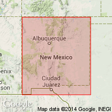
- San Juan basin
Summary:
Is the uppermost member of the Morrison Formation above the Brushy Basin Member of the Morrison and unconformably beneath the newly named Encinal Canyon Member of the Dakota Sandstone in the San Juan basin. Rocks assigned to Encinal Canyon were included in the Jackpile, the Burro Canyon Formation, or the Dakota Sandstone in earlier reports. Measured section of Jackpile described at type section of Encinal Canyon in W1/2 NE1/4 sec 26, T10N, R6W, Laguna 7.5 minute quad, Valencia Co, NM, San Juan basin. In that measured section the Jackpile is 29 ft thick. Of Late Jurassic age. Cross section.
Source: GNU records (USGS DDS-6; Denver GNULEX).
- Usage in publication:
-
- Jackpile Sandstone Member*
- Modifications:
-
- Age modified
- Overview
- AAPG geologic province:
-
- San Juan basin
Summary:
Occurs on western margin of Nacimiento uplift, San Juan basin where it is tentatively correlated with Burro Canyon? Formation in northeast San Juan basin (Chama basin). Correlation based on similar lithologies, fluvial characteristics, paleocurrent directions and interfingering relationships with underlying Brushy Basin Member of Morrison Formation. Though Burro Canyon? and Jackpile occupy same stratigraphic position between underlying Brushy Basin and overlying Dakota Sandstone, their stratigraphic relationship is uncertain. Burro Canyon? and Jackpile interval probably represents single, depositionally continuous fluvial unit. Measured sections on eastern side of San Juan basin show no evidence of major break or unconformity below either Burro Canyon? or Jackpile; however, local scouring, typical of fluvial sandstones, does occur. Bases of Burro Canyon? and Jackpile probably locally grade into underlying Brushy Basin suggesting conformable relationship. Jackpile generally considered latest Jurassic age; Burro Canyon? considered late Early Cretaceous age if it actually correlates with type Burro Canyon in southwest CO; however, no age-diagnostic fossils have been reported from either Burro Canyon? or Jackpile. Tentatively assigned Late Jurassic or Early Cretaceous age based on stratigraphic position and correlation with Burro Canyon?.
Source: GNU records (USGS DDS-6; Denver GNULEX).
For more information, please contact Nancy Stamm, Geologic Names Committee Secretary.
Asterisk (*) indicates published by U.S. Geological Survey authors.
"No current usage" (†) implies that a name has been abandoned or has fallen into disuse. Former usage and, if known, replacement name given in parentheses ( ).
Slash (/) indicates name conflicts with nomenclatural guidelines (CSN, 1933; ACSN, 1961, 1970; NACSN, 1983, 2005, 2021). May be explained within brackets ([ ]).