

- Usage in publication:
-
- Hounsfield bentonite
- Modifications:
-
- Named
- Dominant lithology:
-
- Bentonite
- Clay
- AAPG geologic province:
-
- Appalachian basin
Kay, G.M., 1930, Age of the Hounsfield bentonite: Science, v. 72, p. 365.
Summary:
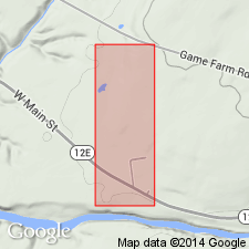
At type section in quarry near town of Dexter, Hounsfield bentonite (new name) occurs as a bed of gray white homogeneous clay, reaching 3/8 in. in thickness, lying unconformably above the Leray limestone and unconformably below the Watertown limestone, in Chaumont formation of upper Black River age. In Ontario, the Hounsfield occurs within the intermediate Glenburnie member of Chaumont formation near Kingston and in Coboconk limestone of Lake Simcoe district. In upper Mississippi Valley, Hounsfield occurs consistently within 2 ft of the base of Spechts Ferry member of Decorah formation. The presence of the bed has been reported in MN and TN. The fact that Hounsfield bentonite has been found to occupy the position that it has in the type Black River section establishes new basis for correlating beds in other regions within which the bentonite occurs with those in type section.
Source: GNU records (USGS DDS-6; Reston GNULEX).
- Usage in publication:
-
- Hounsfield bentonite
- Modifications:
-
- Areal extent
- AAPG geologic province:
-
- Appalachian basin
Summary:
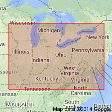
Hounsfield bentonite applied in NY, Ontario, KY, TN, MO, and IA columns of correlation chart. Unit occurs in several named formations according to geographic area.
Source: GNU records (USGS DDS-6; Reston GNULEX).
- Usage in publication:
-
- Hounsfield metabentonite
- Modifications:
-
- Revised
- AAPG geologic province:
-
- Appalachian basin
Summary:
Restudy of sequence at type section indicates that metabentonite occurs 3 ft above base of Selby member (new) of Rockland formation (Mohawkian). Previously was mistakenly believed to separate Leray and Watertown members of Chaumont formation.
Source: GNU records (USGS DDS-6; Reston GNULEX).
- Usage in publication:
-
- Hounsfield Metabentonite
- Modifications:
-
- Areal extent
- Overview
- AAPG geologic province:
-
- Appalachian basin
Summary:
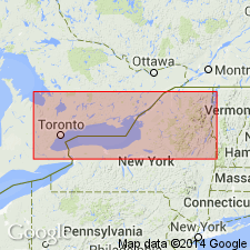
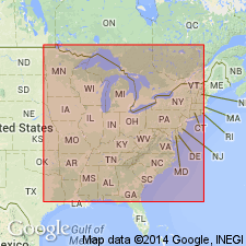
Correlation of the Millbrig Metabentonite of the Upper Mississippi Valley with the Hounsfield of New York is substantiated by analysis of trace elements. Hounsfield also correlates with the Capitol Metabentonite of Kentucky, Tennessee, Alabama, and Georgia. At the type locality in Brownville Township, Jefferson County, New York, unit occurs in the lower beds of the early Trentonian Selby Formation and overlies the early Trentonian Watertown Limestone. Unit is also recognized in the Selby in Lennox and Addington County, Ontario.
Source: GNU records (USGS DDS-6; Reston GNULEX).
For more information, please contact Nancy Stamm, Geologic Names Committee Secretary.
Asterisk (*) indicates published by U.S. Geological Survey authors.
"No current usage" (†) implies that a name has been abandoned or has fallen into disuse. Former usage and, if known, replacement name given in parentheses ( ).
Slash (/) indicates name conflicts with nomenclatural guidelines (CSN, 1933; ACSN, 1961, 1970; NACSN, 1983, 2005, 2021). May be explained within brackets ([ ]).