

- Usage in publication:
-
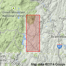
- Cooper Hill Member*
- Modifications:
-
- Named
- Dominant lithology:
-
- Schist
- AAPG geologic province:
-
- New England province
Summary:
Named the Cooper Hill Member of the Rowe(?) Schist for Cooper Hill, Windham Co., VT. Consists of dark-colored, dull-gray and rusty weathered, slabby, well foliated, fine-grained, quartz rich muscovite-biotite-plagioclase-quartz schist. Locally unit grades into chlorite-biotite-muscovite and quartz knotted schist or phyllite containing small garnets, amphibolite, and feldspathic quartzite and gneiss. Contact with underlying amphibolite appears sharp and is marked by pods of serpentinite and talc-carbonate schist. Underlies lustrous green schist member of the Rowe(?). The Cooper Hill is of Cambrian(?) age.
Source: GNU records (USGS DDS-6; Reston GNULEX).
For more information, please contact Nancy Stamm, Geologic Names Committee Secretary.
Asterisk (*) indicates published by U.S. Geological Survey authors.
"No current usage" (†) implies that a name has been abandoned or has fallen into disuse. Former usage and, if known, replacement name given in parentheses ( ).
Slash (/) indicates name conflicts with nomenclatural guidelines (CSN, 1933; ACSN, 1961, 1970; NACSN, 1983, 2005, 2021). May be explained within brackets ([ ]).