

- Usage in publication:
-
- Cape May formation
- Modifications:
-
- Original reference
- Dominant lithology:
-
- Loam
- AAPG geologic province:
-
- Atlantic Coast basin
Summary:
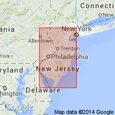
Pg. 19-20. Cape May formation. Those deposits of late glacial and early postglacial time, which were made beyond region directly affected by the ice or its drainage. Includes much of loam which has heretofore been referred to under name "low-level Jamesburg." In places overlain by high-level loam, which in earlier reports was referred to under name "high level Jamesburg loam." Overlies Pensauken formation. Probably at least partly contemporaneous with drift of last [Wisconsin] glacial epoch. Covers whole of Cape May County, New Jersey. [Extends into southeastern Pennsylvania.]
Source: US geologic names lexicon (USGS Bull. 896, p. 342).

- Usage in publication:
-
- Cape May formation*
- Modifications:
-
- Overview
- AAPG geologic province:
-
- Atlantic Coast basin
Summary:
Cape May formation. Is top formation of Columbia group, of nonglacial origin. Recognized in New Jersey and southeastern Pennsylvania. Age is late Pleistocene. Now [ca. 1936] considered to be of same age as glacial deposits of Wisconsin stage.
Source: US geologic names lexicon (USGS Bull. 896, p. 342).
- Usage in publication:
-
- Cape May formation
- Modifications:
-
- Age modified
- AAPG geologic province:
-
- Atlantic Coast basin
Summary:
From evidence in New Jersey, the Cape May formation seems best referred to Sangamon interglacial stage.
Source: US geologic names lexicon (USGS Bull. 1200, p. 622).
- Usage in publication:
-
- Cape May formation
- Modifications:
-
- Age modified
- AAPG geologic province:
-
- Atlantic Coast basin
Summary:
Pg. 5. Cape May formation. Apparently represents entire duration of the Pleistocene between last major interglacial and the Recent. At present, formation is divided into following zones or phases: (1) interglacial marine, sand and clay with warm water fauna, last major interglacial; (2) glacial marine, sand with cold-water fauna, early Wisconsin; (3) transitional, fine sand; and (4) fluvial, sand and gravel, Wisconsin and post-Wisconsin. Future work will probably show that term Cape May formation should not be used for all these phases. Studies made in excavations of Cape May Canal.
Source: US geologic names lexicon (USGS Bull. 1200, p. 622).
- Usage in publication:
-
- Cape May formation
- Modifications:
-
- Areal extent
- AAPG geologic province:
-
- Atlantic Coast basin
Summary:
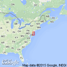
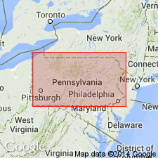
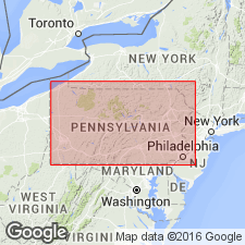
Cape May formation. Mapped in eastern Pennsylvania. Sands and gravels with clay and silt at base locally; includes areas of Recent alluvium and swamp deposits. Younger than Pensauken formation (Illinoian). Wisconsin stage. [Term Columbia group not used].
Source: US geologic names lexicon (USGS Bull. 1200, p. 622).
- Usage in publication:
-
- Cape May Formation
- Modifications:
-
- Areal extent
- AAPG geologic province:
-
- Piedmont-Blue Ridge province
Summary:
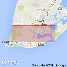
Trenton Gravel (reinstated) replaces Cape May Formation of earlier workers in PA. Reference section for Trenton is pit at Penn Valley, Bucks Co., PA, where it consists of gray to pale-reddish-brown, very gravelly sand. Interbedded, cross-bedded sand and clay-silt layers. Deeply weathered; good aquifer; good sand for construction materials.
Source: GNU records (USGS DDS-6; Reston GNULEX).
For more information, please contact Nancy Stamm, Geologic Names Committee Secretary.
Asterisk (*) indicates published by U.S. Geological Survey authors.
"No current usage" (†) implies that a name has been abandoned or has fallen into disuse. Former usage and, if known, replacement name given in parentheses ( ).
Slash (/) indicates name conflicts with nomenclatural guidelines (CSN, 1933; ACSN, 1961, 1970; NACSN, 1983, 2005, 2021). May be explained within brackets ([ ]).