

- Usage in publication:
-
- Navajo sandstone*
- Modifications:
-
- Named
- Dominant lithology:
-
- Sandstone
- AAPG geologic province:
-
- San Juan basin
- Paradox basin
- Black Mesa basin
- Plateau sedimentary province
Summary:
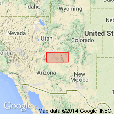
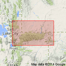
Named for exposures in the "Navajo country." No type locality designated. Name applied to a sandstone of Jurassic age that is assigned to the La Plata group as its uppermost formation. Conformably overlies the Todilto formation, middle formation of the La Plata. Underlies the McElmo formation of Jurassic? age. Is a cliff-forming, red, quartz, weakly cemented (hence friable) sandstone that is tangentially cross-bedded and uniform in grain size. A few blue to white limestone beds present, especially at the top. Attains thicknesses greater than 1,000 ft. Weathers into rounded forms due to its friable nature where not covered by another unit. Occurs over a large part of the map area (geologic map) from McKinley and San Juan Co, NM in the San Juan basin west into Apache and Navajo Cos, AZ in the Black Mesa basin and Coconino Co, AZ in the Plateau sedimentary province, and north into San Juan Co, UT in the Paradox basin.
Source: GNU records (USGS DDS-6; Denver GNULEX).
- Usage in publication:
-
- Navajo sandstone*
- Modifications:
-
- Areal extent
- Overview
- AAPG geologic province:
-
- Paradox basin
Summary:
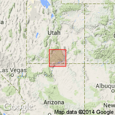
Forms a cliff encircling the San Rafael Swell. Lower contact with the Todilto? formation (questionably extended and correlated with beds in San Juan Co, UT) is gradational; upper contact is unconformable with the basal beds (yellow sandstone composed of sand reworked from the Navajo) of the Carmel formation of the newly established San Rafael Group. Is a tan to pink massive cross-bedded sandstone 440 to 540 ft thick in the Swell. Thought to be a desert dune deposit of Jurassic? age.
Source: GNU records (USGS DDS-6; Denver GNULEX).
- Usage in publication:
-
- Navajo sandstone*
- Modifications:
-
- Revised
- Areal extent
- AAPG geologic province:
-
- Plateau sedimentary province
- Paradox basin
Summary:
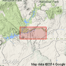
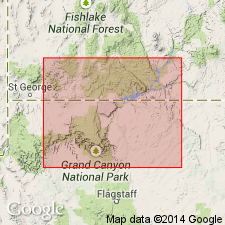
Assigned as the upper formation of the Glen Canyon group (named). Extended areally (geologic map) into south-central UT into Kane Co, Plateau sedimentary province, and Garfield Co in the Paradox basin. Forms the surface of Waterpocket Fold, Escalante Valley, and walls of Paria, Johnson, and Kanab canyons. Rims the Glen Canyon. Is a white to yellow cliff-forming, cross-bedded, quartz sandstone of uniform texture and with calcareous cement. Full thickness not present. Ranges from 400+ to 1,400 ft thick in area. Overlies Todilto? formation of Glen Canyon group. Underlies Carmel formation of San Rafael group. Of Jurassic? age.
Source: GNU records (USGS DDS-6; Denver GNULEX).
- Usage in publication:
-
- Navajo sandstone*
- Modifications:
-
- Contact revised
- AAPG geologic province:
-
- Black Mesa basin
- Paradox basin
- Plateau sedimentary province
Summary:
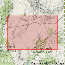
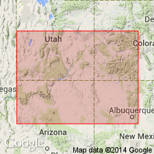
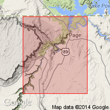
Lower contact revised in that Navajo overlies the newly named Kayenta formation, middle formation of Glen Canyon group. Rocks assigned to Kayenta were mistakenly assigned to the Todilto limestone in earlier reports. Forms steep rugged outcrops and isolated knobs. Mapped (geologic map) west of Piute Creek, San Juan Co, UT, Paradox basin, and adjoining Navajo Co, AZ, Black Mesa basin and Coconino Co, AZ, Plateau sedimentary province. Composed of medium-sized, rounded to subangular quartz grains loosely cemented with calcium carbonate. Horizontal bedding planes rare. Is intricately cross-bedded. Is buff, tan, gray. A few thin greenish-gray unfossiliferous sandy limestone lenses. Is 1,100 ft thick at Rainbow bridge, UT. Wedges out near southeast UT and southwest CO. Absent in northwest NM. Thickens west. Underlies Carmel formation. Unfossiliferous. Jurassic? age. Eolian origin. Stratigraphic column. Cross section.
Source: GNU records (USGS DDS-6; Denver GNULEX).
- Usage in publication:
-
- Navajo sandstone
- Modifications:
-
- Overview
- Revised
- AAPG geologic province:
-
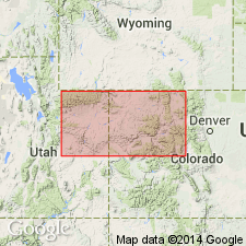
- Uinta basin
Summary:
The sandstone above Stanaker formation (new name) and beneath Carmel formation persists from the central Wasatch Range on the Wasatch uplift east almost to Skull Creek, Uintah Co, UT in the Uinta basin. Term Nugget sandstone applied to the stratigraphic equivalent in the western exposures and Navajo sandstone to the eastern exposures. Assigned to the Jurassic. On cross-sections Navajo used generally east of Weber River, Summit Co, Uinta uplift; Nugget used generally west of Weber River, Summit Co.
Source: GNU records (USGS DDS-6; Denver GNULEX).
- Usage in publication:
-
- Navajo sandstone*
- Modifications:
-
- Revised
- AAPG geologic province:
-
- Plateau sedimentary province
- Great Basin province
Summary:
Navajo sandstone and Kayenta formation of the Glen Canyon group intertongue. In the Kanab area, Kane Co, UT and Coconino Co, AZ in the Plateau sedimentary province, the Lamb Point tongue (first used) of the Navajo is separated from the main body of the Navajo by the Tenney Canyon tongue (first used) of the Kayenta. In the Cedar City area, Iron Co, UT in the Great Basin province, the Shurtz sandstone tongue (named) of the Navajo overlies the lower part of the Kayenta, and is separated from the main body of the Navajo by the Cedar City tongue (named) of the Kayenta. Navajo assigned a Jurassic and Jurassic? age. [No stratigraphic figures.]
Source: GNU records (USGS DDS-6; Denver GNULEX).
- Usage in publication:
-
- Navajo sandstone*
- Modifications:
-
- Age modified
Summary:
Age changed from Jurassic and Jurassic? to Late Triassic? and Jurassic. Intertongues with the underlying Upper Triassic? Kayenta formation and the Middle Jurassic Carmel formation, both of which are fossiliferous. Has fern leaves, wood, crustacean, and carnivorous dinosaur fossils. Is thought to be similar to the Newark group of eastern U.S.
Source: GNU records (USGS DDS-6; Denver GNULEX).
- Usage in publication:
-
- Navajo sandstone*
- Modifications:
-
- Overview
- AAPG geologic province:
-
- Great Basin province
Summary:
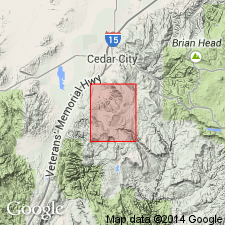
Mapped in the northwest and west-central part of quad in Iron Co, UT in the Great Basin province where it is divisible into the Shurtz sandstone tongue and a main body by the Cedar City tongue of the Kayenta formation. Temple Cap member of Navajo described but not mapped. Underlies Carmel formation. Assigned a Jurassic? and Jurassic age.
Source: GNU records (USGS DDS-6; Denver GNULEX).
- Usage in publication:
-
- Navajo sandstone*
- Modifications:
-
- Revised
- AAPG geologic province:
-
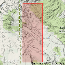
- Plateau sedimentary province
Summary:
Shown to intertongue with the overlying Carmel formation of the San Rafael group in Kane Co, UT and south into Coconino Co, AZ, both in the Plateau sedimentary province. The main body Navajo, which ranges from 1,423+ to 1,857 ft thick in report area, is overlain by the Judd Hollow tongue (new) of the Carmel, a red-brown, fine- to medium-grained, limey sandstone and siltstone 20 to 186 ft thick. The Judd Hollow is in turn overlain by the Thousand Pockets tongue (new), a 228-252 ft thick, gray, white to red-brown, fine-grained to very fine grained, quartzose, silty, tangentially cross-bedded sandstone assigned to the Navajo as its uppermost tongue. The Thousand Pockets is overlain by the main body of the Carmel. Navajo mapped over a major portion of map area. Columnar section. Assigned a Jurassic and Jurassic? age.
Source: GNU records (USGS DDS-6; Denver GNULEX).
- Usage in publication:
-
- Navajo Sandstone
- Modifications:
-
- Not used
- AAPG geologic province:
-
- Green River basin
- Uinta uplift
Summary:
Name Glen Canyon Sandstone applied to the thick sandstones overlying Chinle Formation in Uinta Mountains, northeastern Utah, and Dinosaur National Monument area, northwestern Colorado. Previously called Nugget or Navajo.
Source: Publication.
- Usage in publication:
-
- Navajo Sandstone*
- Modifications:
-
- Areal extent
- Overview
- AAPG geologic province:
-
- Paradox basin
- Piceance basin
Summary:
Eastern limit of unit within area of report shown on fig 4. Report area extends from Gateway, CO on north to Dove Creek, CO on south within western portions of Mesa, Montrose, San Miguel, and Dolores Cos in Paradox and Piceance basins. Just east of main mass of unit, most notably around Uravan, a few thin, isolated exposures occur. These isolated masses were probably connected to main mass of Navajo prior to erosion that immediately followed deposition of Navajo. Thickness ranges from featheredge to 500 ft between Silveys Pocket and Wray Mesa. Is uppermost unit of Glen Canyon Group. Conformably overlies Kayenta Formation; unconformably underlies Entrada Sandstone. Geologic map. Cross sections. Measured sections. Is an eolian deposit. Probably correlates with Nugget Sandstone in northern UT and in WY and ID. Assigned Triassic? and Jurassic age.
Source: GNU records (USGS DDS-6; Denver GNULEX).
- Usage in publication:
-
- Navajo Sandstone
- Modifications:
-
- Revised
- AAPG geologic province:
-
- Great Basin province
- Plateau sedimentary province
Summary:
In Washington Co, UT in the Great Basin province and in western Kane Co, UT in the Plateau sedimentary province, the upper part of Navajo intertongues with the lower part of the Carmel Formation. Temple Cap Tongue (or Member), the lower of two tongues described in this report, of Navajo underlies the newly named Kolob Limestone Member of Carmel. The Thousand Pockets Tongue, the upper tongue of the Navajo, is separated from the Temple Cap at some localities by the Judd Hollow Tongue of the Carmel. Thousand Pockets is overlain by the newly named Paria River Member of the Carmel. Jurassic age. Cross section. Measured section. Block diagram.
Source: GNU records (USGS DDS-6; Denver GNULEX).
- Usage in publication:
-
- Navajo Sandstone
- Modifications:
-
- Revised
- Areal extent
- AAPG geologic province:
-
- Plateau sedimentary province
Summary:
Revised in that unit unconformably underlies newly named Jacobs Ranch Formation in Virgin and Beaverdam Mountains, Mohave Co, AZ, Plateau sedimentary province. Extended into study area from UT. Unit is up to 2500 feet thick. Overlies Chinle Formation. Correlates with Aztec Sandstone in Muddy Mountains, NV, 40 mi to west. Assigned Late Triassic? and Early Jurassic age.
Source: GNU records (USGS DDS-6; Denver GNULEX).
- Usage in publication:
-
- Navajo Sandstone*
- Modifications:
-
- Overview
- AAPG geologic province:
-
- Great Basin province
- Plateau sedimentary province
- Black Mesa basin
Summary:
Chert nodules, a minor constituent of the Navajo (of Glen Canyon Group) are significant because they are a likely source for chert pebbles incorporated in basal part of some of formations that overlie Navajo. Two types of chert present: 1) microcrystalline nodules that are gray to gray red or brown, and that are white to light gray on periphery, occur in limestone beds; 2) irregular masses up to 0.3 m long that are grayish red on interior and white to light gray on exterior, occur in cross-bedded sandstone. Two upper units, the Temple Cap formerly a member of Navajo removed from Navajo and assigned as basal formation of San Rafael Group, and the Thousand Pockets (formerly a member of Navajo) removed from Navajo and assigned to Page Sandstone (new) of San Rafael Group. Page was an unnamed part of Navajo. Shown as intertonguing with underlying Kayenta Formation of Glen Canyon Group. Tentatively assigned to late Pliensbachian and Toarcian, Early Jurassic on basis of identification of Early Jurassic palynomorphs from Whitmore Point Member of Moenave Formation beneath Kayenta. [Age retained as Late Triassic? and Jurassic]. Correlation chart. Shown on cross section extending from Washington Co, UT east into Apache Co, AZ, or from the Great Basin and Plateau sedimentary provinces into Black Mesa basin.
Source: GNU records (USGS DDS-6; Denver GNULEX).
- Usage in publication:
-
- Navajo Sandstone
- Modifications:
-
- Age modified
- AAPG geologic province:
-
- Plateau sedimentary province
Summary:
Horn-like scutes have been found in the Kayenta Formation at several localities in the Rock Head quad, Coconino Co, AZ in the Plateau sedimentary province, that match an obscure ornithisician dinosaur of the Early Jurassic of southwest England. These scutes [pictured] belonged to SCELIDOSAURUS. Possible late Hettangian or Sinemurian age suggested for lower part of the Kayenta. Along with palynomorphs in the Moenave Formation and magnetostratigraphic studies, the Early Jurassic age established for several parts of the group is assigned to the entire Glen Canyon Group. Formations of the Glen Canyon are thought to be--Wingate, Hettangian; Moenave, Hettangian and Sinemurian; Kayenta, Sinemurian and Pliensbachian; Navajo, Pliensbachian or Toarcian--all stages of the Early Jurassic. [Members of formations in Glen Canyon Group not discussed.]
Source: GNU records (USGS DDS-6; Denver GNULEX).
For more information, please contact Nancy Stamm, Geologic Names Committee Secretary.
Asterisk (*) indicates published by U.S. Geological Survey authors.
"No current usage" (†) implies that a name has been abandoned or has fallen into disuse. Former usage and, if known, replacement name given in parentheses ( ).
Slash (/) indicates name conflicts with nomenclatural guidelines (CSN, 1933; ACSN, 1961, 1970; NACSN, 1983, 2005, 2021). May be explained within brackets ([ ]).