

- Usage in publication:
-
- Cavendish schist
- Modifications:
-
- Original reference
- Dominant lithology:
-
- Schist
- AAPG geologic province:
-
- New England province
Summary:
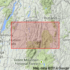
Pg. 210, 223. Cavendish schist (Upper Cambrian). Name is necessary because characteristics of the terrane will not permit it to be included in any group hitherto named. Cavendish is selected because this terrane is essentially the one in which the postglacial gorge so widely known as Cavendish Gorge [just east of Cavendish village, Ludlow quadrangle, Windsor County, southeastern Vermont] has been cut. Essential mineral composition is quartz and biotite. It is often hornblendic, and hornblende sometimes replaces nearly all of biotite. Is of dark gray color. Underlies all members of Upper Cambrian Missiquoi group, of which Gassetts schist is oldest member. Contact with Gassetts schist can be seen in the road cut a few rods north of Gassetts station. Not determined that it either underlies or overlies Bethel schist, but writer has reached conclusion it is time
equivalent of Bethel schist. [See also long description of this schist, by Richardson, in 17th Rpt. Vermont State Geol., 1931, p. 213-237.]
Source: US geologic names lexicon (USGS Bull. 896, p. 378).
- Usage in publication:
-
- Cavendish Formation*
- Modifications:
-
- Reinstated
- Age modified
- AAPG geologic province:
-
- New England province
Summary:
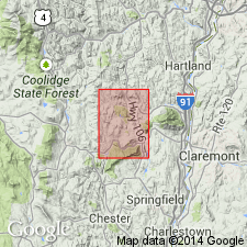
The Cavendish Formation is reinstated and considered part of the Mount Holly Complex in VT. Usage follows Thompson (1950), but is extended to include some rocks on Star Hill, including inner and outer cover rocks assigned by Downie (1982) to Hoosac and Pinney Hollow Formations. Formation is divided into four map units: calc-silicate rock and gneiss, marble, feldspathic schist or granofels, and the Gassetts Schist Member. The Cavendish correlates with the Wilcox Formation of the Mount Holly Complex in the Green Mountain massif, and therefore, is of Middle Proterozoic age.
Source: GNU records (USGS DDS-6; Reston GNULEX).
For more information, please contact Nancy Stamm, Geologic Names Committee Secretary.
Asterisk (*) indicates published by U.S. Geological Survey authors.
"No current usage" (†) implies that a name has been abandoned or has fallen into disuse. Former usage and, if known, replacement name given in parentheses ( ).
Slash (/) indicates name conflicts with nomenclatural guidelines (CSN, 1933; ACSN, 1961, 1970; NACSN, 1983, 2005, 2021). May be explained within brackets ([ ]).