

- Usage in publication:
-
- Indian Meadows formation
- Modifications:
-
- Named
- Dominant lithology:
-
- Clay
- Conglomerate
- AAPG geologic province:
-
- Wind River basin
Summary:
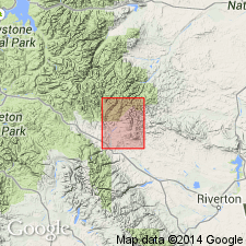
Named for Indian Meadows on North Fork [of Wind] River valley, T41N, R105W, Fremont Co, WY in Wind River basin. Type section measured in secs 14, 15, and 16, T6N, R6W. A 906 ft section variegated clay, conglomerate of granite, quartzite, chert and limestone which are seldom less than a foot in diameter and commonly less than 2 in, red shale, and buff sandstone. Overlies Frontier formation at type. Unconformities at base and top. Is older than Wind River formation. Is found along south margin of area. Contains many vertebrate fossils. Is of early Eocene age. Geologic map.
Source: GNU records (USGS DDS-6; Denver GNULEX).
- Usage in publication:
-
- Indian Meadows Formation*
- Modifications:
-
- Revised
- AAPG geologic province:
-
- Wind River basin
Summary:
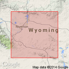
In some places unit conformably overlies, in other areas overlies in angular discordance, newly named Shotgun Member of Fort Union Formation. Study area is Fremont and Natrona Cos, WY, Wind River basin. Eocene age.
Source: GNU records (USGS DDS-6; Denver GNULEX).
For more information, please contact Nancy Stamm, Geologic Names Committee Secretary.
Asterisk (*) indicates published by U.S. Geological Survey authors.
"No current usage" (†) implies that a name has been abandoned or has fallen into disuse. Former usage and, if known, replacement name given in parentheses ( ).
Slash (/) indicates name conflicts with nomenclatural guidelines (CSN, 1933; ACSN, 1961, 1970; NACSN, 1983, 2005, 2021). May be explained within brackets ([ ]).