

- Usage in publication:
-
- Buck Spring formation
- Modifications:
-
- Named
- Dominant lithology:
-
- Sandstone
- Siltstone
- AAPG geologic province:
-
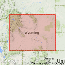
- Green River basin
- Wind River basin
Summary:
Description of name given in a footnote on the chart. Named for rocks in Wind River basin of south-central WY that are equivalent to the Gros Ventre group (rank raised). Name used east of pinchout of Death Canyon limestone (rank raised), the middle formation of the Gros Ventre group (rank raised). Type locality is near Buck Spring, northwestern Rawlins uplift in SE1/4 sec 4, T22N, R88W, Carbon Co, WY in the Greater Green River basin. Consists of brown to red sandstone and siltstone with minor amount of glauconite. Overlies Flathead sandstone. Underlies Dunoir [sic] limestone (rank raised) of Gallatin group (rank raised). Of Albertan, Cambrian age.
Source: GNU records (USGS DDS-6; Denver GNULEX).
- Usage in publication:
-
- Buck Spring formation
- Modifications:
-
- Overview
- Dominant lithology:
-
- Shale
- AAPG geologic province:
-
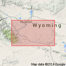
- Green River basin
Summary:
Type section designated on Rawlins uplift in sec 33, T23N, R88W, Carbon Co, WY in the Greater Green River basin. Section shown on cross section as 100+ ft of sandy shale that overlies the Cambrian Flathead sandstone and underlies Madison limestone. Is a Middle Cambrian unit in the BOLASPIDELLA zone. Identified on sections only at this one locality.
Source: GNU records (USGS DDS-6; Denver GNULEX).
- Usage in publication:
-
- Buck Spring formation
- Modifications:
-
- Not used
- AAPG geologic province:
-
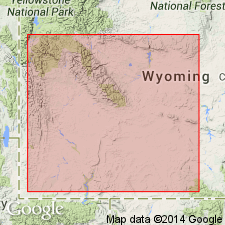
- Wind River Basin
Summary:
Buck Spring formation restricted to its type area (Rawlins uplift area, Carbon County, Wyoming); elsewhere Buck Spring = Depass formation (revised), which has priority.
Source: Modified from GNU records (USGS DDS-6; Denver GNULEX).
- Usage in publication:
-
- Buck Spring formation
- Modifications:
-
- Overview
- AAPG geologic province:
-
- Wind River basin
Summary:
Is distinguished by its red color which contrasts with the green or black of the Gros Ventre group, its equivalent to the west in Fremont Co. Cross section. Name used (cross section) on Conant Creek, Fremont Co and eastward in the Rattlesnake Hills of Natrona Co in the Wind River basin. Underlain by Flathead sandstone at both localities. Is overlain unconformably by the Dunoir limestone at Conant Creek and unconformably by the Madison limestone in the Rattlesnake Hills. Trilobite fossils identified. Only the top which is considered to be of early Dresbachian age has been dated. Deposited in a littoral to marine environment.
Source: GNU records (USGS DDS-6; Denver GNULEX).
For more information, please contact Nancy Stamm, Geologic Names Committee Secretary.
Asterisk (*) indicates published by U.S. Geological Survey authors.
"No current usage" (†) implies that a name has been abandoned or has fallen into disuse. Former usage and, if known, replacement name given in parentheses ( ).
Slash (/) indicates name conflicts with nomenclatural guidelines (CSN, 1933; ACSN, 1961, 1970; NACSN, 1983, 2005, 2021). May be explained within brackets ([ ]).