- Usage in publication:
-
- Brule clay*
- Modifications:
-
- Original reference
- Dominant lithology:
-
- Clay
- Ash
- Sand
- AAPG geologic province:
-
- Chadron arch
- Denver basin
Summary:
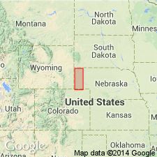
Pg. 736, 755-759. Brule clay. White River beds in their extension from South Dakota into Nebraska present some differences in stratigraphic range and relations. They expand considerably and include, at top, beds which appear not to be represented in the typical regions. Accordingly, to afford distinct definitions for the members in Nebraska I have introduced the designation Brule clay and separated the underlying TITANOTHERIUM beds as Chadron formation. The Brule consists mainly of a hard, sandy clay, of pale-pink color. Thickness about 600 feet in vicinity of Wyoming line, but diminishes greatly eastward; in vicinity of 103 deg. meridian in northwest corner of Nebraska it is 320 feet. Has not been recognized east of Long. 101 deg. 30 min., where it appears to sink beneath the surface in Platte Valley. Extends far to northeast in South Dakota.
Source: US geologic names lexicon (USGS Bull. 896, p. 278-279).

- Usage in publication:
-
- Brule formation*
- Brule clay*
- Modifications:
-
- Overview
- AAPG geologic province:
-
- Chadron arch
- Denver basin
Summary:
Brule formation (also Brule clay) is upper formation of White River group. Mr. Darton stated (personal commun. April 8, 1931) that he named this formation for the Brule Indians, who once roamed over Pine Ridge Indian Reservation in southern South Dakota, where the formation covers large areas, and that it is not present in Brule Indian Reservation, which occurs farther north in South Dakota. Age is middle and upper Oligocene.
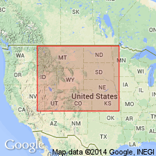
Recognized in western NE and SD, northeastern CO, and eastern WY.
Source: US geologic names lexicon (USGS Bull. 896, p. 278-279).
- Usage in publication:
-
- Brule formation
- Modifications:
-
- Revised
- AAPG geologic province:
-
- Williston basin
- Chadron arch
Summary:
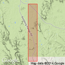
Is the upper formation of White River group. Divided into two newly named members: 1) lower beds named Scenic member, and 2) upper member named Poleslide member. Scenic replaces term OREODON beds (Wortman). Poleslide replaces terms PROTOCERAS beds or LEPTAUCHENIA beds. Overlies Chadron formation; underlies Arikaree formation. Report area is in Pennington Co, SD in Williston basin and adjoining Shannon Co, SD on the Chadron arch. Oligocene age.
Source: GNU records (USGS DDS-6; Denver GNULEX).
- Usage in publication:
-
- Brule Formation
- Modifications:
-
- Contact revised
- AAPG geologic province:
-
- Chadron arch
Summary:
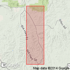
Revised in that Brule Formation of White River Group underlies the newly named Sharps Formation, basal formation of Arikaree Group, in Shannon Co, SD on Chadron arch. Brule-Sharps contact placed at base of Rockyford Member of Sharps.
Source: GNU records (USGS DDS-6; Denver GNULEX).
- Usage in publication:
-
- Brule Formation
- Modifications:
-
- Overview
- AAPG geologic province:
-
- Williston basin
- Sioux uplift
Summary:
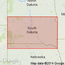
Is an Oligocene deposit in White River Group in Williston basin and Sioux uplift that includes Scenic Member (early late Oligocene) at base and Poleslide Member (mid-late Oligocene) at top. Base of Scenic placed at top of paleosol on the prominent calcareous claystone breccia of the underlying Chadron. Scenic is a cliff former characterized by alternating red siltstone and white sandstone and by paleosols. Poleslide has steep, runneled, orange and brown banded slopes, and paleosols studded with round, calcareous nodules. Sandstone in both members forms hoodoos. Each member has channel sandstones and numerous paleosols. Scenic is a near-stream deposit; Poleslide accumulated on a flat, featureless landscape with a savanna vegetation. The climate was semiarid in Brule time.
Source: GNU records (USGS DDS-6; Denver GNULEX).
- Usage in publication:
-
- Brule Formation
- Modifications:
-
- Age modified
- Geochronologic dating
- AAPG geologic province:
-
- Wind River basin
Summary:
40Ar/39Ar dates on biotite from the "Purple White Layer" (PWL) yielded a mean age of 33.91 +/-0.06 Ma (latest Eocene). PWL is an ash that marks boundary between Chadron Formation and overlying Orella Member of Brule Formation and marks the Chadronian-Orellan North American land mammal age (NALMA) boundary and the Eocene-Oligocene boundary. Thus, the Chadronian and Chadron are now latest Eocene age and the Orellan and lower part of Brule are earliest Oligocene age. Ash samples taken from Flagstaff Rim section in Natrona Co, south-central WY. Tables of isotopic dates.
Source: GNU records (USGS DDS-6; Denver GNULEX).
- Usage in publication:
-
- Brule Formation*
- Modifications:
-
- Mapped 1:250k (Scottsbluff quad, NE)
- Dominant lithology:
-
- Siltstone
- Sandstone
- AAPG geologic province:
-
- Denver basin
- Chadron arch
Summary:
Mapped as lower Oligocene formation in western NE (Denver basin and Chadron arch). Brule is upper formation of White River Group (lower Oligocene and upper Eocene). Brule described as sandy siltstone and silty sandstone, grayish-brown to yellowish-orange; principally eolian volcaniclastic sediments and some minor fluvial deposits; contains several volcanic ash beds that can be correlated regionally. Divided into three units (not separately mapped, though separately described) (descending): brown siltstone unit, Whitney Member, and Orella Member. Brown siltstone unit is described as sandy siltstone and silty, very fine grained sandstone; volcaniclastic. Whitney is described as a siltstone; eolian volcaniclastic. Orella is described as mudstone and siltstone; volcaniclastic. Overlies Chadron Formation (upper Eocene) of White River; underlies Gering Formation (upper Oligocene) of Arikaree Group (lower Miocene and upper Oligocene). Brule underlies almost all of quad and crops out along valley of Lodgepole Creek, Ash Hollow, Blue Creek, Lawrence Fork, Pumpkin Creek, and South Platte and North Platte Rivers.
Source: GNU records (USGS DDS-6; Denver GNULEX).
For more information, please contact Nancy Stamm, Geologic Names Committee Secretary.
Asterisk (*) indicates published by U.S. Geological Survey authors.
"No current usage" (†) implies that a name has been abandoned or has fallen into disuse. Former usage and, if known, replacement name given in parentheses ( ).
Slash (/) indicates name conflicts with nomenclatural guidelines (CSN, 1933; ACSN, 1961, 1970; NACSN, 1983, 2005, 2021). May be explained within brackets ([ ]).

