

- Usage in publication:
-
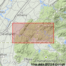
- Buck Bald Formation
- Modifications:
-
- First used
- AAPG geologic province:
-
- Appalachian basin
Summary:
First used as Buck Bald Formation of Great Smoky Group in TN. Overlies Boyd Gap Formation (new). Facing criteria indicate Boyd Gap is older than Buck Bald.
Source: GNU records (USGS DDS-6; Reston GNULEX).
- Usage in publication:
-
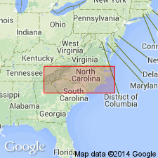
- Buck Bald Formation
- Modifications:
-
- Overview
- AAPG geologic province:
-
- Piedmont-Blue Ridge province
Summary:
In Cherokee Co., NC, Boyd Gap Formation includes upper part of Buck Bald Formation.
Source: GNU records (USGS DDS-6; Reston GNULEX).
For more information, please contact Nancy Stamm, Geologic Names Committee Secretary.
Asterisk (*) indicates published by U.S. Geological Survey authors.
"No current usage" (†) implies that a name has been abandoned or has fallen into disuse. Former usage and, if known, replacement name given in parentheses ( ).
Slash (/) indicates name conflicts with nomenclatural guidelines (CSN, 1933; ACSN, 1961, 1970; NACSN, 1983, 2005, 2021). May be explained within brackets ([ ]).