

- Usage in publication:
-
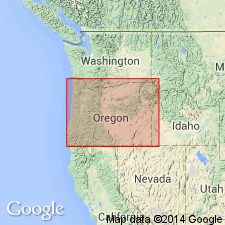
- Cowlitz formation
- Modifications:
-
- Named
- Biostratigraphic dating
- Dominant lithology:
-
- Sandstone
- Shale
- Conglomerate
- AAPG geologic province:
-
- Cascades province
- Oregon-Washington Coast Ranges province
Summary:
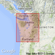
Named [presumably for Cowlitz River, in order to accommodate a fauna] "seemingly older than typical Tejon [which] may represent a transition from the Martinez to the Tejon --a fauna which as yet is unknown in California. In order to distinguish this [fauna] from the typical Tejon, the term Cowlitz formation is suggested." [no type given] Occurs in southern Lewis Co, WA, east of Little Falls. Composed of sandstone, shale, conglomerate, and subordinate amounts of shaly limestone together with numerous intercalated layers of tuff and basaltic lava. Is at least 500 ft thick; base not exposed. List of megafossils included in report. Age is late Eocene.
Source: GNU records (USGS DDS-6; Menlo GNULEX).
- Usage in publication:
-
- Cowlitz formation
- Modifications:
-
- Overview
- Areal extent
- AAPG geologic province:
-
- Oregon-Washington Coast Ranges province
Summary:
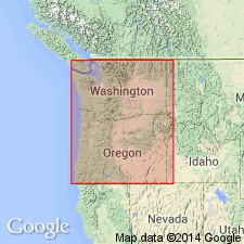
Type section measured in canyon of Olequa Creek between towns of Winlock and Olequa, [a distance of about 8.5 mi in southwestern Lewis Co and northwestern Cowlitz Co, WA]. Thickness at type is 3745 ft. Overlain by Oligocene Keasey formation; basal contact not exposed. Fauna ... "seems to represent the uppermost division of the Eocene ... but may not extend upward to the very top of Eocene time."
Source: GNU records (USGS DDS-6; Menlo GNULEX).
- Usage in publication:
-
- Cowlitz formation*
- Modifications:
-
- Areal extent
- Biostratigraphic dating
- AAPG geologic province:
-
- Oregon-Washington Coast Ranges province
Summary:
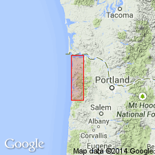
[Cowlitz formation not separately delineated on reconnaissance geologic map]. Exposed along Nehalem River (where it is approximately 950 ft thick) and also exposed along Wolf Creek HWY. Megafossil fauna is sufficient to "separate the Cowlitz fauna from younger faunas". Age is late Eocene.
Source: GNU records (USGS DDS-6; Menlo GNULEX).
- Usage in publication:
-
- Cowlitz formation
- Modifications:
-
- Revised
- Overview
- AAPG geologic province:
-
- Oregon-Washington Coast Ranges province
Summary:
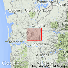
Type locality of Cowlitz formation is redefined to include more than 8000 ft of sedimentary and subordinate volcanic rocks exposed along Stillwater and Olequa Creeks as far south as Cowlitz River, southwestern WA. In lower Cowlitz River-eastern Willapa Hills area Cowlitz is subdivided into four closely related, some interfingering members representing different lithofacies of Cowlitz. Members include: Stillwater Creek member (new), Olequa Creek member (new). Goble volcanics member, and Pe Ell volcanics member (new) Fossil lists and petrographic study of volcanic rocks included in report.
Source: GNU records (USGS DDS-6; Menlo GNULEX).
- Usage in publication:
-
- Cowlitz Formation*
- Modifications:
-
- Age modified
- Biostratigraphic dating
- AAPG geologic province:
-
- Oregon-Washington Coast Ranges province
Summary:
Age is middle and late Eocene based on foraminifers.
Source: GNU records (USGS DDS-6; Menlo GNULEX).
For more information, please contact Nancy Stamm, Geologic Names Committee Secretary.
Asterisk (*) indicates published by U.S. Geological Survey authors.
"No current usage" (†) implies that a name has been abandoned or has fallen into disuse. Former usage and, if known, replacement name given in parentheses ( ).
Slash (/) indicates name conflicts with nomenclatural guidelines (CSN, 1933; ACSN, 1961, 1970; NACSN, 1983, 2005, 2021). May be explained within brackets ([ ]).