- Usage in publication:
-
- Berwick gneiss*
- Modifications:
-
- Named
- Dominant lithology:
-
- Gneiss
- Quartzite
- Schist
- Slate
- AAPG geologic province:
-
- New England province
Summary:
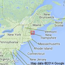
Named Berwick gneiss for development at Berwick, York Co., ME. Consists chiefly of graywacke gneiss, but contains clean quartzites, mica schist, and argillite schist and slate. Beds range in thickness from an inch to a few feet. Almost all rocks are moderately fine-grained and delicately banded with colors of dark gray, bluish gray, and brown. Total thickness is undeterminable. The age of the Berwick is unknown, but is probably pre-Carboniferous.
Source: GNU records (USGS DDS-6; Reston GNULEX).

- Usage in publication:
-
- Berwick Formation*
- Modifications:
-
- Revised
- Areal extent
- Age modified
- AAPG geologic province:
-
- New England province
Summary:
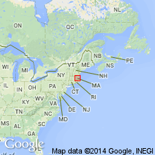
Formations of Merrimack Group recognized as valid units in northeastern MA. Kittery Quartzite is revised to Kittery Formation following usage of Novotny (1963) and Hussey (1968). Age of Kittery is Silurian or Ordovician because it is intruded by granodiorite of Newburyport Complex (name revised) dated as Silurian and Ordovician (R.E. Zartman and R.S. Naylor, written commun., 1981). Eliot and Berwick Formations remain as probable Silurian age on basis of tentative correlation with similar rocks in central ME (Osberg, 1968). Stratigraphic order within Merrimack Group is uncertain, but it appears that Kittery is basal unit.
Source: GNU records (USGS DDS-6; Reston GNULEX).

- Usage in publication:
-
- Berwick Formation*
- Modifications:
-
- Overview
- AAPG geologic province:
-
- New England province
Summary:
Used as Berwick Formation of Silurian age. Includes main body of thin- to thick-bedded sandstone, siltstone, and minor muscovite schist. Mica schist unit separately mapped.
Source: GNU records (USGS DDS-6; Reston GNULEX).

- Usage in publication:
-
- Berwick Formation
- Modifications:
-
- Areal extent
- AAPG geologic province:
-
- New England province
Summary:
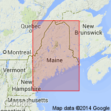
Term Vassalboro Formation is used here for unit in Windham-Gorham area, southern ME, which was originally designated Berwick Formation (Katz, 1917; Hussey, 1968; 1971). Berwick in southeastern NH now considered to be late Precambrian (Bothner et al, 1984), while Vassalboro is Late Ordovician and Early Silurian. Underlies Windham Formation (Early Silurian). Intruded by Sebago batholith (Carboniferous).
Source: GNU records (USGS DDS-6; Reston GNULEX).

- Usage in publication:
-
- Berwick Formation*
- Modifications:
-
- Overview
- Age modified
- Geochronologic dating
- AAPG geologic province:
-
- New England province
Summary:
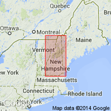
Used as Berwick Formation of Merrimack Group. Consists of purple biotite-feldspar granofels or schist. Contains interbeds of calcsilicate granofels and minor metapelites. Includes Gove Member, separately mapped. Stratigraphic sequence with respect to Eliot Formation is uncertain. Age of all formations in Merrimack Group changed to Ordovician(?) to Silurian(?) based on isotopic age determinations of approx 440 and 420 Ma from detrital zircons from Berwick by J.N. Aleinikoff (oral commun., 1994). Report includes geologic map, cross sections, correlation chart, and four 1:500,000-scale derivative maps.
Source: GNU records (USGS DDS-6; Reston GNULEX).
For more information, please contact Nancy Stamm, Geologic Names Committee Secretary.
Asterisk (*) indicates published by U.S. Geological Survey authors.
"No current usage" (†) implies that a name has been abandoned or has fallen into disuse. Former usage and, if known, replacement name given in parentheses ( ).
Slash (/) indicates name conflicts with nomenclatural guidelines (CSN, 1933; ACSN, 1961, 1970; NACSN, 1983, 2005, 2021). May be explained within brackets ([ ]).

