

- Usage in publication:
-
- Shelton granite gneiss
- Modifications:
-
- Named
- Dominant lithology:
-
- Gneiss
- Granite
- AAPG geologic province:
-
- Piedmont-Blue Ridge province
Jonas, A.I., 1928, Geological map of Virginia; preliminary edition: Virginia Geological Survey
Summary:
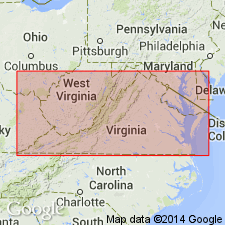
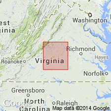
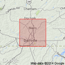
Shelton granite gneiss is mapped in VA from south of Danville northeastward nearly to Wren, Charlotte Co. Composed of pink muscovite granite gneiss. Age is Precambrian.
Source: GNU records (USGS DDS-6; Reston GNULEX).
- Usage in publication:
-
- Shelton granite gneiss facies
- Modifications:
-
- Areal extent
- AAPG geologic province:
-
- Piedmont-Blue Ridge province
Jonas, A.I., 1932, Kyanite in Virginia: Virginia Geological Survey Bulletin, no. 38, 52 p.
Summary:
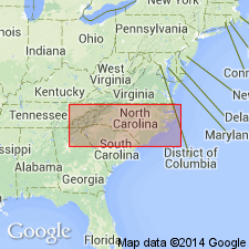
Shelton granite gneiss facies of Columbia granite is a mylonitized granite that occurs in two zones in central VA and extends into NC, where it is quarried near Shelton, for which it is named. Intrudes Wissahickon formation. Age is Precambrian.
Source: GNU records (USGS DDS-6; Reston GNULEX).
- Usage in publication:
-
- Shelton Formation
- Modifications:
-
- Revised
- AAPG geologic province:
-
- Piedmont-Blue Ridge province
Summary:
Unit here restricted to gray to pink coarse-grained granitic quartz monzonite gneiss and revised to Shelton Formation from Shelton Granite Gneiss. Underlies Precambrian Fork Mountain Formation. Unit is base of section.
Source: GNU records (USGS DDS-6; Reston GNULEX).
- Usage in publication:
-
- Shelton Granite Gneiss
- Modifications:
-
- Overview
- AAPG geologic province:
-
- Piedmont-Blue Ridge province
Summary:
Term Shelton Granite Gneiss used on the NC State geologic map rather than Formation. Silurian age accepted.
Source: GNU records (USGS DDS-6; Reston GNULEX).
- Usage in publication:
-
- Shelton Formation
- Modifications:
-
- Age modified
- Geochronologic dating
- AAPG geologic province:
-
- Piedmont-Blue Ridge province
Summary:
Stratigraphy and structure of the Central Virginia volcanic-plutonic belt are reinterpreted. Rb-Sr whole-rock date from Stephen Kish (oral commun., 1980) is 429+/-7 Ma, indicating a Silurian age for the Shelton Formation.
Source: GNU records (USGS DDS-6; Reston GNULEX).

- Usage in publication:
-
- Shelton Formation
- Modifications:
-
- Overview
- Geochronologic dating
- AAPG geologic province:
-
- Piedmont-Blue Ridge province
Summary:
Shelton Formation described as pink to gray, coarse-grained, massive, strongly-lineated gneiss ranging in composition from granite to quartz monzonite, composed of microcline and perthite augen enclosed by biotite in a quartz-plagioclase matrix. Has linear fabric from rod-like feldspar porphyroblasts. Veins of purple fluorite common. Demonstrates pronounced positive radiometric signature and flat magnetic signature. U-Pb dating by Hund (1987) yielded date of 463 Ma. Map symbol indicates acceptance of this Ordovician age.
Source: GNU records (USGS DDS-6; Reston GNULEX).
For more information, please contact Nancy Stamm, Geologic Names Committee Secretary.
Asterisk (*) indicates published by U.S. Geological Survey authors.
"No current usage" (†) implies that a name has been abandoned or has fallen into disuse. Former usage and, if known, replacement name given in parentheses ( ).
Slash (/) indicates name conflicts with nomenclatural guidelines (CSN, 1933; ACSN, 1961, 1970; NACSN, 1983, 2005, 2021). May be explained within brackets ([ ]).