The National Geologic Map Database is migrating to a new infrastructure. We apologize for any service disruptions during this process.
|
|---|


- Usage in publication:
-
- Isle La Motte marble
- Modifications:
-
- Named
- Dominant lithology:
-
- Limestone
- AAPG geologic province:
-
- New England province
Summary:
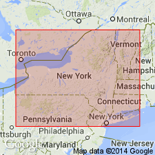
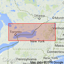
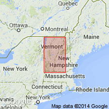
Named the Isle La Motte marble in northwestern VT and northeastern NY for Isle La Motte, in Lake Champlain, Grand Isle Co., northwestern VT. Consists of thick-bedded, black limestone. Character more similar to Birdseye than with Trenton limestone. Thickness is 8 feet at Watertown and 12 feet at Isle La Motte. Overlies Birdseye [Lowville] limestone and underlies Trenton limestone. The Isle La Motte is of Early and Middle Ordovician age.
Source: GNU records (USGS DDS-6; Reston GNULEX).
- Usage in publication:
-
- Isle La Motte limestone
- Modifications:
-
- Revised
- Age modified
- AAPG geologic province:
-
- New England province
Summary:
Revised the Isle La Motte to the Isle La Motte Limestone and designated the type section in northwestern VT. Assigned to Trenton group of Mohawkian series which changes the age to Middle Ordovician (Trentonian). At type locality, unit consists of black gray-weathering medium-textured heavy-ledged limestone. Probably includes underlying blue-black limestone. Total thickness is 12 1/2 feet. Overlies the Lowville limestone or Amsterdam limestone and underlies the Larrabee member of the Glens Falls formation.
Source: GNU records (USGS DDS-6; Reston GNULEX).
- Usage in publication:
-
- Isle La Motte limestone
- Modifications:
-
- Age modified
- Revised
- AAPG geologic province:
-
- New England province
Summary:
Designation of the Isle La Motte limestone as part of the Trenton group by Kay (1937) is found to be in error. Unit is classified as Blackriverian (Middle Ordovician) and correlative to the Chaumont limestone of the Black River group of northwestern NY.
Source: GNU records (USGS DDS-6; Reston GNULEX).
- Usage in publication:
-
- Isle La Motte limestone
- Modifications:
-
- Revised
- AAPG geologic province:
-
- New England province
Summary:
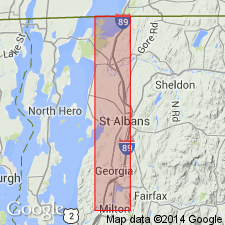
Included the Isle La Motte limestone as part of the Black River group. Unit is about the equivalent of the Orwell limestone in areas west of Champlain thrust, on Isle La Motte, and near South Hero, Highgate, Swanton, and St. Albans. It is locally underlain by the Lowville limestone.
Source: GNU records (USGS DDS-6; Reston GNULEX).
For more information, please contact Nancy Stamm, Geologic Names Committee Secretary.
Asterisk (*) indicates published by U.S. Geological Survey authors.
"No current usage" (†) implies that a name has been abandoned or has fallen into disuse. Former usage and, if known, replacement name given in parentheses ( ).
Slash (/) indicates name conflicts with nomenclatural guidelines (CSN, 1933; ACSN, 1961, 1970; NACSN, 1983, 2005, 2021). May be explained within brackets ([ ]).