- Usage in publication:
-
- Aziscohos Formation*
- Modifications:
-
- Areal extent
- Overview
- AAPG geologic province:
-
- New England province
Summary:
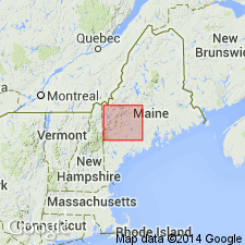
Divisible into lower member of black to dark-gray, thinly laminated carbonate shale and minor feldspathic quartzite, 2,000 m thick and upper member of gray, thinly laminated shale and siltstone, 600 m thick. Underlies Albee Formation. Used in ME and NH as far east as 70 deg 45' at east edge of Cupsuptic quad; Dead River Formation is eastward equivalent of Aziscohos and Albee Formations. Age is Early Ordovician.
Source: GNU records (USGS DDS-6; Reston GNULEX).

- Usage in publication:
-
- Aziscohos Formation*
- Modifications:
-
- Age modified
- AAPG geologic province:
-
- New England province
Summary:
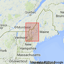
In Bronson Hill-Boundary Mountains anticlinorium, Aziscohos Formation consists of pelitic phyllite and schist inferred to represent a pelitic southern facies of the lower part of the Dead River Formation. Lowest part of Aziscohos may be coeval with uppermost part of Cambrian(?) Hurricane Mountain Formation, but lacks the melange characteristic of the Hurricane Mountain. Includes separately mapped lower black shale member and upper greenish-gray shale member. Age is changed from Early Ordovician of Moench and Pankiwskyj (1988) to Late Cambrian(?) and Ordovician (Whiterockian) based on similar stratigraphic position and facies relationship with Dead River Formation; author uses time scale of Ross and others (1982, modified by Ross, 1992, written commun.).
Source: GNU records (USGS DDS-6; Reston GNULEX).

- Usage in publication:
-
- Aziscohos Formation*
- Modifications:
-
- Overview
- Age modified
- AAPG geologic province:
-
- New England province
Summary:
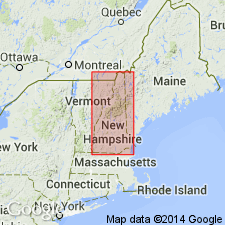
Used as Aziscohos Formation. Age is changed from Late Cambrian(?) and Early Ordovician to Late Cambrian(?) and Early Ordovician(?). Probably a lower pelitic facies of Dead River Formation. Divided into an unnamed lower member consisting of dark, rusty metapelite with thin coticule laminations and feldspathic metatuff and vein quartz lenses, and an unnamed upper member consisting of gray metapelite with sparse siltstone laminations and abundant lenses of vein quartz. Report includes geologic map, cross sections, correlation chart, and four 1:500,000-scale derivative maps.
Source: GNU records (USGS DDS-6; Reston GNULEX).
For more information, please contact Nancy Stamm, Geologic Names Committee Secretary.
Asterisk (*) indicates published by U.S. Geological Survey authors.
"No current usage" (†) implies that a name has been abandoned or has fallen into disuse. Former usage and, if known, replacement name given in parentheses ( ).
Slash (/) indicates name conflicts with nomenclatural guidelines (CSN, 1933; ACSN, 1961, 1970; NACSN, 1983, 2005, 2021). May be explained within brackets ([ ]).

