The National Geologic Map Database is migrating to a new infrastructure. We apologize for any service disruptions during this process.
|
|---|


- Usage in publication:
-
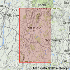
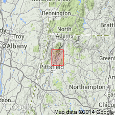
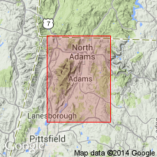
- Greylock schists
- Modifications:
-
- Named
- Dominant lithology:
-
- Schist
- AAPG geologic province:
-
- New England province
Dale, T.N., 1891, The Greylock synclinorium: American Geologist, v. 8, p. 1-7.
Summary:
Named Greylock schists for Mount Greylock, Berkshire Co., northwestern MA. Consists of muscovite (sericite), chlorite, and quartz schist. Thickness is 1,200 to 2,000 ft on Mount Greylock. Overlies Bellows Pipe limestone. Age is Ordovician.
Source: GNU records (USGS DDS-6; Reston GNULEX).
- Usage in publication:
-
- Greylock schist*
- Modifications:
-
- Revised
- Age modified
- AAPG geologic province:
-
- New England province
Summary:
Revised as Greylock schist. Age on table 1 indicates a Middle Ordovician age; elsewhere on map sheet, age remains Ordovician.
Source: GNU records (USGS DDS-6; Reston GNULEX).
- Usage in publication:
-
- Greylock schist
- Modifications:
-
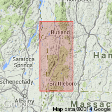
- Areal extent
- AAPG geologic province:
-
- New England province
Summary:
Geographically extended into VT.
Source: GNU records (USGS DDS-6; Reston GNULEX).
- Usage in publication:
-
- Greylock Schist*
- Modifications:
-
- Age modified
- AAPG geologic province:
-
- New England province
Summary:
At Mount Greylock, Greylock Schist discordantly overlies Stockbridge and Walloomsac Formations. Greylock likely correlates with Hoosac Formation on Hoosac Mountain. Internal structure of Greylock Schist is discordant to its lower contact that also truncates folds in underlying Stockbridge and Walloomsac. This verifies that a fault separates Greylock from underlying rocks and is in agreement with Prindle and Knopf (1932). Because of this structural relationship and its correlation with the Hoosac of Early Cambrian or older age, the age of the Greylock is therefore changed to Proterozoic Z and Early Cambrian.
Source: GNU records (USGS DDS-6; Reston GNULEX).

- Usage in publication:
-
- Greylock Schist*
- Modifications:
-
- Overview
- AAPG geologic province:
-
- New England province
Summary:
Used as Greylock Schist of Proterozoic Z and Early Cambrian age. Divided into two informal unit. Lowermost unit consists of light-green to gray, white albite-spotted phyllite and interbedded blue-quartz metagraywacke, salmon-pink dolostone, and blue-quartz conglomerate; contains minor interbeds of black and white albite-spotted phyllite resembling part of Hoosac Formation. Uppermost part consists of soft, lustrous green phyllite with minor beds of green quartzite and well-laminated, gray, dolomitic phyllite; resembles parts of Hoosac or Nassau Formations.
Source: GNU records (USGS DDS-6; Reston GNULEX).
For more information, please contact Nancy Stamm, Geologic Names Committee Secretary.
Asterisk (*) indicates published by U.S. Geological Survey authors.
"No current usage" (†) implies that a name has been abandoned or has fallen into disuse. Former usage and, if known, replacement name given in parentheses ( ).
Slash (/) indicates name conflicts with nomenclatural guidelines (CSN, 1933; ACSN, 1961, 1970; NACSN, 1983, 2005, 2021). May be explained within brackets ([ ]).